Lower Bellinger and Kalang Rivers Floodplain Risk Management Study and Plan
Bellingen Shire Council has engaged specialist flood consultants WMAwater to investigate the flooding mechanisms and flood risk management in the Lower Bellinger and Kalang River catchment. A Flood Study was completed in 2016 which identified areas of flood risk.
This project follows on from the work completed in the Flood Study to address the existing and future flood problems within the Lower Bellinger and Kalang River Catchment. This project has been titled the Lower Bellinger and Kalang Rivers Floodplain Risk Management Study & Plan.
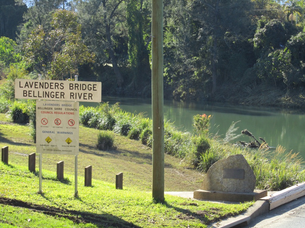
The Bellinger and Kalang Rivers are located within Bellingen Shire Council area. The total catchment areas of both rivers is 1,110 km2. During heavy rain, the capacity of the river systems to convey runoff can be exceeded, resulting in flow over the floodplain, across roads and through private properties. In urbanised areas, this flooding has the potential to cause major damage to property and risk to life. The most notable floods in this catchment occurred in 1974, 1977, 2001, and 2009.
As part of the study, computer models have been be further refined to determine the extent and nature of potential flooding in the catchment. Following this, various mitigation measures including those identified by the community, where appropriate, have been assessed. The measures are aimed at managing the current and future flood risk in the Lower Bellinger and Kalang River catchment and can be structural and planning measures or ‘response’ measures.
You can review the Draft Lower Bellinger & Kalang Rivers Floodplain Risk Management Study and Plan via the Document Library tab on Councils Website and provide your written submissions during the public exhibition phase, which is expected to close on Friday 25 June 2021. A link to the reports has been provided on this page.
Council is also organising for information sessions to allow for the public to raise specific questions to the consultant team who have prepared the Draft Lower Bellinger and Kalang Rivers Floodplain Risk Management Study and Plan. These sessions will occur:
- 8 June: Literary Institute Hall, Urunga, at 5pm
- 9 June: Council Chambers, Bellingen at 4.30pm
Consequently you are encouraged to review the Draft Lower Bellinger and Kalang Rivers Floodplain Risk Management Study and Plan ahead of the information sessions.
We encourage everyone to provide comments and feedback on any aspect of the study. The local knowledge and personal experiences of residents and business operators are an important source of information. Questions about the Study can be directed to the following contacts at Council or WMAwater:
Caroline Szary, Bellingen Shire Council, Tel: (02) 6655 7300 Email: [email protected]
Mikayla Ward, WMAwater, Tel: 02 9299 2855 Email: [email protected]