Maitland Floodplain Management Studies
Client
Maitland City Council
Development of floodplain management plans and assisting the community to understand flood risk.
Background
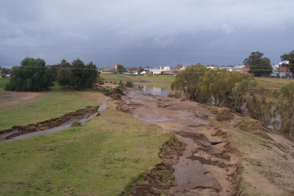
The catastrophic 1955 flood at Maitland, which caused 14 deaths in the area, was a major catalyst for the development of modern floodplain management practices in New South Wales. The Lower Hunter River Flood Mitigation Scheme involves several kilometres of levees, floodways, and flood control structures. However, Maitland is still vulnerable to large floods, and floodplain management for the city is a primary ongoing concern.
Solution
WMAwater has undertaken various investigation phases incorporating estimating historic flood behaviour, flood frequency analysis, modelling design flood behaviour (levels, flow distribution and velocities) and implementing a holistic management approach to flooding for the Lower Hunter River floodplain. The management plan was one of the first floodplain management plans to be fully incorporated into the Council’s planning framework by using it as DCP. The studies we have delivered for Maitland include:
- Lower Hunter Valley (Oakhampton to Green Rocks) Supplementary Flood Study – 1996
- Lower Hunter Valley (Oakhampton to Green Rocks) Floodplain Management Study – 1998
- City of Maitland Floodplain Risk Management Plan, 2007
- Hunter River Flood Study – Branxton to Green Rocks, 2010
- Numerous site-specific flood impact assessments
Outcomes
We have helped council deliver robust floodplain management plans and assisted the community to understand its flood risk.